WEATHER ALERT || Tuesday and Wednesday Severe Storm Potential with Increasing Flood Threat
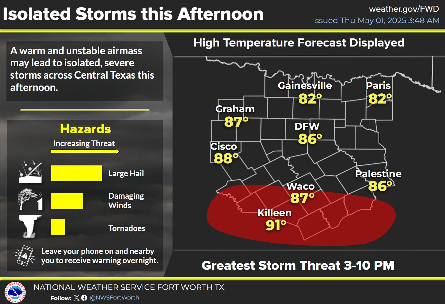
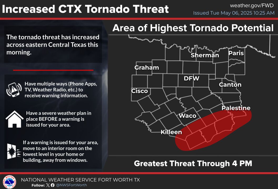
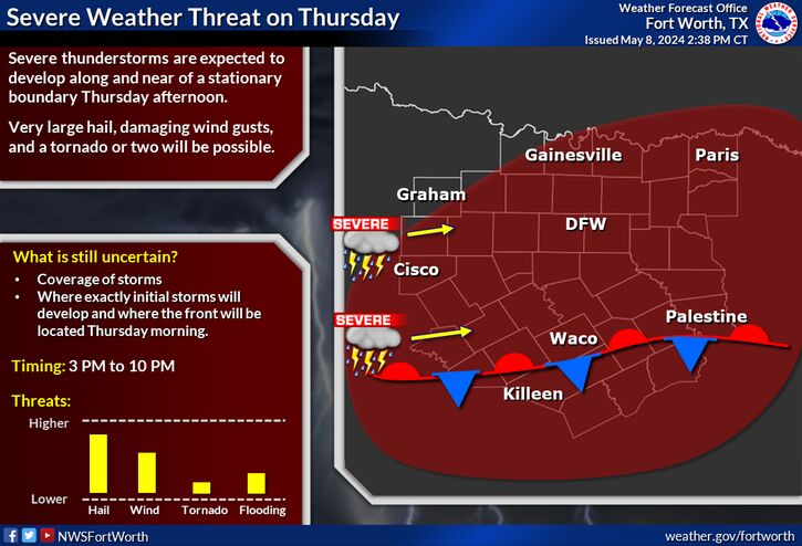
The National Weather Service has reported that strong to severe storms are expected to develop across portions of North and Central Texas on Tuesday afternoon. Hail and damaging winds will be the primary hazards. The greatest severe weather risk will be Wednesday afternoon as the dryline moves further east into the area. All hazards will be possible, but there is still some uncertainty in the timing of these storms. The flash flood threat will increase on Tuesday and especially on Wednesday, as heavy rainfall is expected. Continue to monitor the forecast for the latest information.
Potential for flooding will be increasing starting late Monday through Wednesday, with the highest potential for flooding across the Red River Valley on Wednesday. These areas have already received ample rainfall so it will not take much extra rain to cause issues. Rainfall totals will be between 2 to 5 inches on average across North Texas, with less than 2 inches expected elsewhere. There is a 10% chance of rainfall totals up to 6 inches in our northeast. Ensure you are monitoring the forecast as we continue to narrow down the expected rainfall totals and highest flood threat.
Scattered storm chances will continue through Saturday with highs in the 70s and 80s.


